Road
Approximate — may differ on site
~8 h
Road difficultFrom Tashkent → via Samarkand and Panjakent, with border; then on foot
Asphalt ≈ 387 kmGravel 29 km
- Tashkent → Samarkand≈ 290 km paved, M39 highway
- Jartepa border → Penjikent≈ 60 km, ~1 h at the border
- Penjikent → Ayni road≈ 40 km paved, to the Artuch turn-off
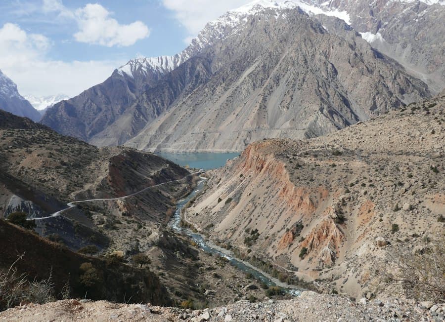
- Artuch villageGravel~29 km dirt; last 4 km steep, 4x4
- Artuch mountaineering campCars stay here, 2,200 m
On foot
Approximate — depends on trail conditions and season

Moderate
Difficulty

8 km
One way

+700 m
Elevation gain

3–4 h (one way)
From Artuch mountaineering camp
West shore of Kulikalon Lake© OpenFreeMap · OpenStreetMap
When to go
You can go until the end of October
Road closed from November. Best time: July – September.
Closes in ~5 days · until November 1
- NowOctoberPossible
- NextNovember – MayRoad closed
- JunePossible
- July – SeptemberBest
Next 7 days · at the place itself
Good to know
Entry fee
Not checked yet
Mobile signal
Only at Artuch camp and on the passes; none at the lakes
Road
The last 4 km before the camp are steep and rocky — regular cars can’t make it
About
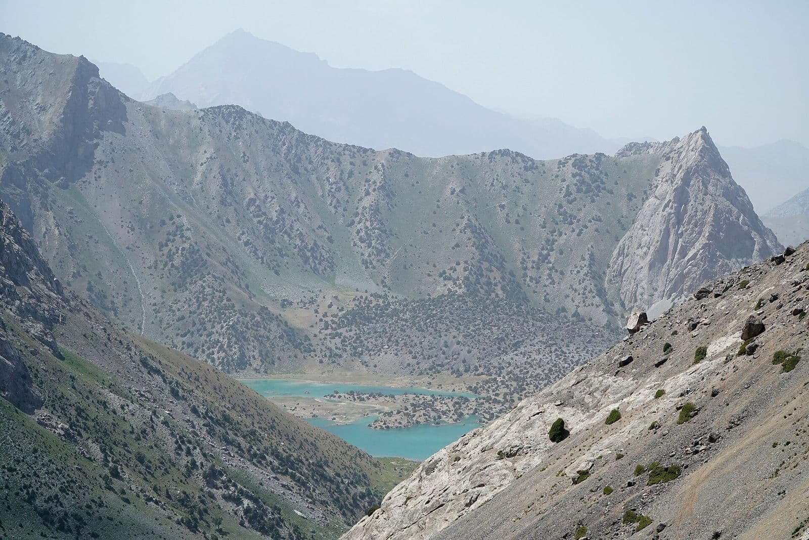
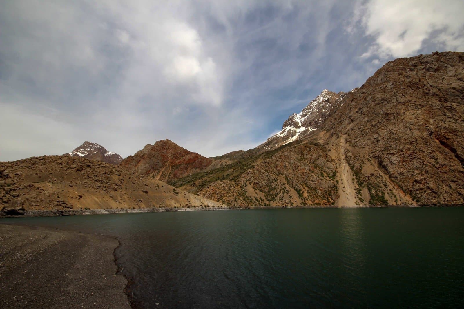
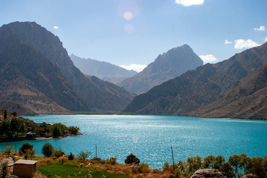
The Kulikalon basin in the Fann Mountains: one large lake and several small ones at ~2,800 m, surrounded by high peaks.
Information out of date?